Free and open-source software/Beyond software
 , the famous collaborative encyclopaedia which is accessible and editable by anyone with a web browser. Its founder Jimmy Wales ambitiously states that he wants to capture the knowledge of all humanity and make it freely accessible to everyone - and the project to date is a very impressive start. It was began in 2001 and is now the largest and most comprehensive encyclopaedia in the world, grown organically by the contributions (and editing) of thousands of users, and the overall quality of articles on the whole is surprisingly good. See this article (2005) from the journal Nature comparing Wikipedia to Encyclopedia Britannica.
With a few built-in mechanisms to make sure the project doesn't dissolve into total chaos, the result is that this pool of knowledge is assembled and edited by people who want to do it and is now an amazing resource for anyone wanting a basic introduction to almost any subject. No-one is paying them to do it and no-one is telling them to do it, they contribute because they want to. It feels like the right thing to do - they are contributing to something greater. Contributors' know their efforts will be used and appreciated by thousands of other people, and that others are doing likewise. It is worth noting that like all encyclopaedias Wikipedia is not a 'primary source' for information and should be considered only as providing a useful introduction to a topic. It is always worth cross-referencing information from other sources too.
It is apparent that these methods could also be applied to the design of physical machines and artefacts. With this development model designs, photos, instructions and CAD models are stored on the internet for others to use and improve upon. Design and engineering is arguably even more suited to this method than software design. This is because looking at a CAD model, especially if animated, allows an intuitive understanding of how the object functions, whereas software is composed of reams of (often obscure) programming code. Architecture is another area well-suited to open collaboration, as the Open Architecture Network has proved.
See also
- Open collaborative design and free and open-source computer-aided design for information on applying the open-source method to design and engineering
- Collaboratively generated educational material in the education section.
- Creative Commons
 - a non-profit organization devoted to expanding the range of creative work available for others legally to build upon and share.
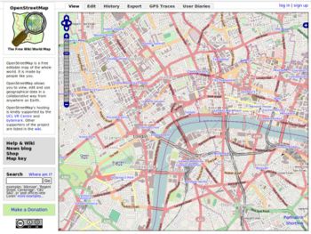
 - OpenStreetMap - collaborative mapping project to create a free editable maps of the world, using GPS data and tracing of satellite imagery. Previous link is for map editor, a simple broser for the data is here: http://www.openstreetbrowser.org
Wikipedia article
Also a nautical chart version: OpenSeaMap

